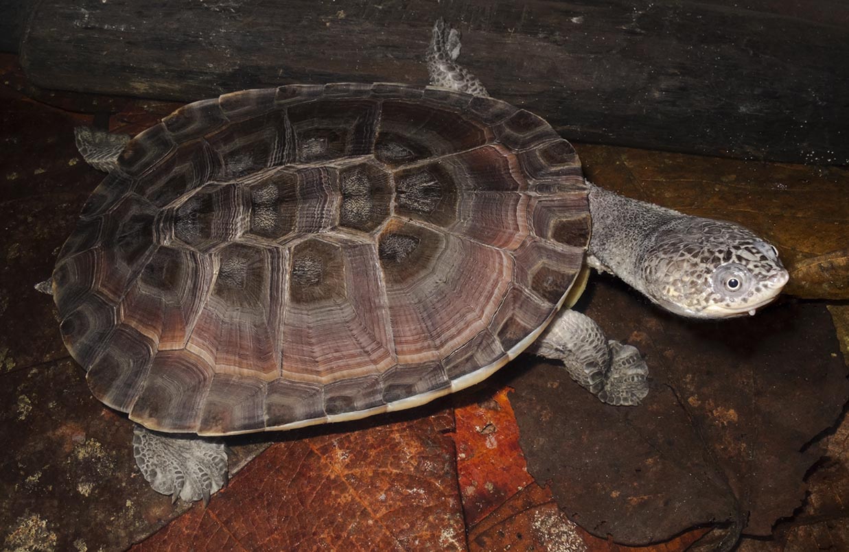
Diamondback Terrapin (Malaclemys terrapin terrapin) Density and Space Use in Dynamic Tidal Systems: Novel Insights from Spatial Capture–Recapture
The status, size, and density of Malaclemys terrapin (Diamondback Terrapin) populations along the Atlantic coast have been reported by most states as unknown or declining. Robust demographic or population data are lacking, with even less information available on their spatial ecology. Spatial capture–recapture (SCR) methods explicitly incorporate spatial processes, providing a formal link between encounter data and space use. Despite the widespread adoption of SCR across ecological disciplines, it has yet to be applied to turtle populations. We present the first application of SCR methods to Diamondback Terrapins by analyzing data collected from two known activity areas in the tidal marsh systems of Wellfleet Bay, Massachusetts. We found that Terrapin detection was positively associated with survey effort at both sites. Detection was also influenced by day of season, tide cycle, the time of tide, survey time relative to the tide, cloud cover, and windspeed. Density and space use differed markedly between the two sites: the estimated density in The Run was 9 individuals/ha with a space use parameter of 309 m, compared to 59 individuals/ha and a space use parameter of 107 m in The Cove. Sex structure was female-biased, with a sex ratio of 0.34 and 0.18 males in The Run and The Cove, respectively. We demonstrate the utility in using SCR methods in turtles, specifically Diamondback Terrapins, to produce comparable estimates of detection and population size and density, while simultaneously providing inference on differential space-use and detection resulting from variation in both behavior and sampling conditions.Abstract

Study area of The Run (A) and The Cove (B). Blue squares represent the sample area and effective traps. Gray circles represent the state space, denoted as a 100-ha buffer around the effective traps, removing all points that were located on land.

Individual detection probability of Diamondback Terrapins by site (The Run, left; The Cove, right) as a function of effort (meters, top), time of low tide relative to the number of hours from noon (middle left), day of year (middle right), wind speed (miles per hour, bottom left), and tide height (feet, bottom right), all at optimal survey effort. The influence of cloud cover is shown as the less50 and more50 cloud cover categories (top left, middle left, bottom left). Time of surveys relative to the number of hours before (red line), during (green line), and after (blue line) time of low tide at optimal effort (middle left). Solid lines are maximum likelihood estimates, and polygons are the 95% confidence intervals.
Contributor Notes
